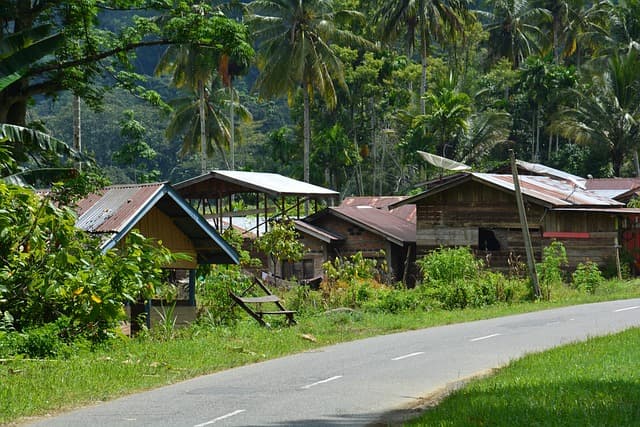
Sumatra lies in the Indian Ocean like a giant emerald surrounded by stormy straits, where the waves sing songs of forgotten civilizations. This island, the second largest in Indonesia after Kalimantan, covers 473,000 square kilometers, where tropical forests hide the secrets of evolution and volcanoes breathe fire, reminding us of the impermanence of the earth. In the north, the Strait of Malacca separates it from Malaysia, and in the east, the Sunda Strait separates it from Java, creating a natural barrier that has preserved its unique biodiversity. The inhabitants of Sumatra, more than 58 million people as of 2025, live in a rhythm where modern cities intertwine with traditional villages, and ocean breezes carry the scents of spices that once attracted European sailors.
When the sun sets below the horizon, the island comes alive with sounds: the cries of orangutans in the treetops, the rustle of leaves under the feet of tigers, and the distant roar of the waves. Sumatra is not just a piece of land, but a living organism, where every mountain tells a story of tectonic shifts and rivers carry waters saturated with minerals from the depths. Here, in the heart of the Malay Archipelago, nature dictates the rules, and people adapt, creating a culture that pulsates in unison with these forces.
Geographical Features and Climate of Sumatra
Sumatra stretches from northwest to southeast for more than 1,700 kilometers, resembling a giant snake curled up in a tropical embrace. The island is divided into eight provinces, from Aceh in the north to Lampung in the south, with terrain ranging from coastal plains to the Bukit Barisan mountain range, where peaks reach over 3,800 meters, as in the case of Mount Kerinci. These mountains, formed by the subduction of the Indian Plate beneath the Eurasian Plate, are part of the Ring of Fire, making Sumatra one of the most seismically active regions in the world. Rivers such as the Mus and Hari cut through the landscape, feeding fertile valleys where rice fields glisten in the sun like emerald mirrors.
The climate here is equatorial, with high humidity and rainfall exceeding 2,000 millimeters per year in most areas. Temperatures range from 25 to 32 degrees Celsius, but it can be cooler in the mountains, with fog enveloping the slopes, creating a mystical atmosphere. In 2025, climate change intensified the rainy season, leading to flooding in low-lying areas such as Medan, where rivers burst their banks, reminding us of the island’s vulnerability. The dry season, from June to September, is ideal for travel, when the sun dries the jungle trails, making them accessible to adventurers.
The coastal areas washed by the Indian Ocean and the South China Sea are rich in mangrove forests, which protect against tsunamis such as the one that occurred in 2004, claiming the lives of more than 160,000 people in Sumatra. These mangroves are natural barriers where roots intertwine, creating labyrinths for fish and birds. Sumatra’s geography is not just a backdrop; it shapes life, from agriculture to fishing, where locals such as the Minangkabau build houses on stilts to withstand flooding.
Volcanoes and Seismic Activity
Sumatra’s volcanoes are fiery giants, breathing life and destruction. Kerinci, the tallest, last erupted in 2023, spewing ash that fertilizes the soil, making it ideal for coffee and tobacco. Another, Sinabung, has been active since the 2010s, forcing thousands to evacuate, but its lava creates new landscapes where life is reborn from the ashes. Seismic activity is constant here: the 2004 earthquake, measuring 9.1 on the Richter scale, triggered a tsunami that changed the coastline and forced a rethink of construction. In 2025, monitoring programs supported by the Indonesian government use satellites for forecasting, saving lives.